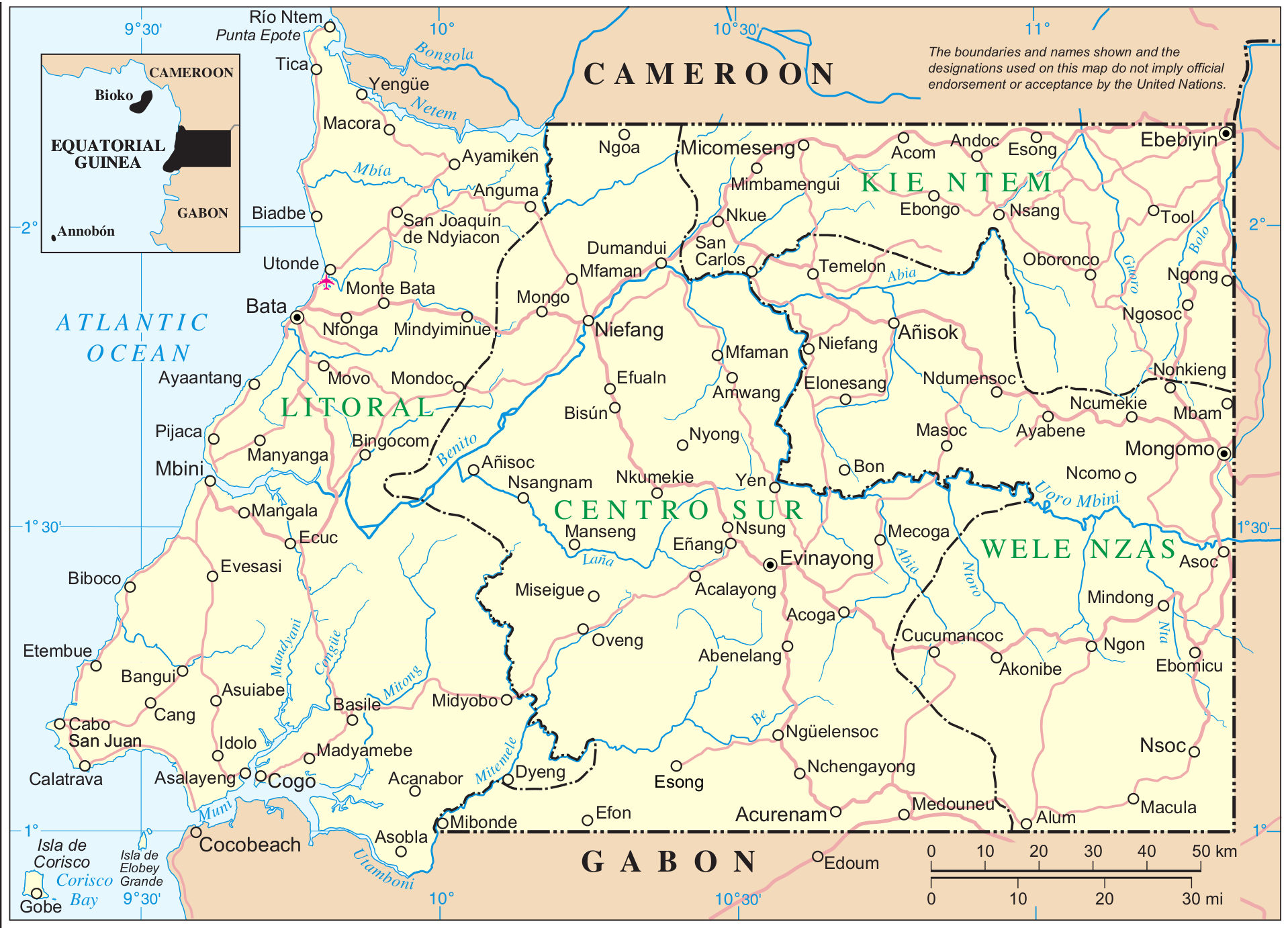
Tập tin:Mbini.PNG
Tập tin gốc (1.918×1.382 điểm ảnh, kích thước tập tin: 998 kB, kiểu MIME: image/png)
Tập tin này từ Wikimedia Commons. Trang miêu tả nó ở đấy được sao chép dưới đây. Commons là kho lưu trữ tập tin phương tiện có giấy phép tự do. Bạn có thể tham gia. |
Mapa de Mbini. Guinea Ecuatorial
| This image is a map derived from a United Nations map.
Unless stated otherwise, UN maps are to be considered in the public domain. This applies worldwide. UN maps are, in principle, open source material and you can use them in your work or for making your own map. UN requests however that you delete the UN name, logo and reference number upon any modification to the map. Content of your map will be your responsibility. You can state in your publication, if you wish, something like: based on UN map … (map name, map number, revision number and date). See: Geospatial Information Section. And: Geospatial, location data for a better world. |
 |
Fuente: http://www.un.org/Depts/Cartographic/map/profile/eqguinea.pdf
Lịch sử tập tin
Nhấn vào ngày/giờ để xem nội dung tập tin tại thời điểm đó.
| Ngày/giờ | Hình xem trước | Kích cỡ | Thành viên | Miêu tả | |
|---|---|---|---|---|---|
| hiện tại | 11:12, ngày 7 tháng 9 năm 2014 | | 1.918×1.382 (998 kB) | Basquetteur | Higher resolution map |
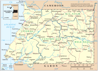
| 03:49, ngày 20 tháng 5 năm 2005 |  | 844×606 (142 kB) | Taichi | Mapa de Mbini. Guinea Ecuatorial {{PD}} Fuente: http://www.un.org/Depts/Cartographic/map/profile/eqguinea.pdf |
Trang sử dụng tập tin
Sử dụng tập tin toàn cục
Những wiki sau đang sử dụng tập tin này:
- Trang sử dụng tại af.wikipedia.org
- Trang sử dụng tại an.wikipedia.org
- Trang sử dụng tại ast.wikipedia.org
- Trang sử dụng tại bg.wikipedia.org
- Trang sử dụng tại ca.wikipedia.org
- Trang sử dụng tại de.wikipedia.org
- Trang sử dụng tại de.wikivoyage.org
- Trang sử dụng tại en.wikipedia.org
- Trang sử dụng tại eo.wikipedia.org
- Trang sử dụng tại es.wikipedia.org
- Trang sử dụng tại eu.wikipedia.org
- Trang sử dụng tại ff.wikipedia.org
- Trang sử dụng tại fi.wikipedia.org
- Trang sử dụng tại fr.wikipedia.org
- Trang sử dụng tại fr.wiktionary.org
- Trang sử dụng tại gl.wikipedia.org
- Trang sử dụng tại ha.wikipedia.org
- Trang sử dụng tại hr.wikipedia.org
- Trang sử dụng tại ig.wikipedia.org
- Trang sử dụng tại it.wikipedia.org
- Trang sử dụng tại it.wikivoyage.org
- Trang sử dụng tại ja.wikipedia.org
- Trang sử dụng tại ka.wikipedia.org
- Trang sử dụng tại ko.wikipedia.org
Xem thêm các trang toàn cục sử dụng tập tin này.