Tập tin:Haryana locator map.svg

Kích thước bản xem trước PNG này của tập tin SVG: 481×599 điểm ảnh. Độ phân giải khác: 193×240 điểm ảnh | 385×480 điểm ảnh | 617×768 điểm ảnh | 822×1.024 điểm ảnh | 1.645×2.048 điểm ảnh | 954×1.188 điểm ảnh.
Tập tin gốc (tập tin SVG, 954×1.188 điểm ảnh trên danh nghĩa, kích thước: 83 kB)
Tập tin này từ Wikimedia Commons. Trang miêu tả nó ở đấy được sao chép dưới đây. Commons là kho lưu trữ tập tin phương tiện có giấy phép tự do. Bạn có thể tham gia. |
| Tiêu đề |
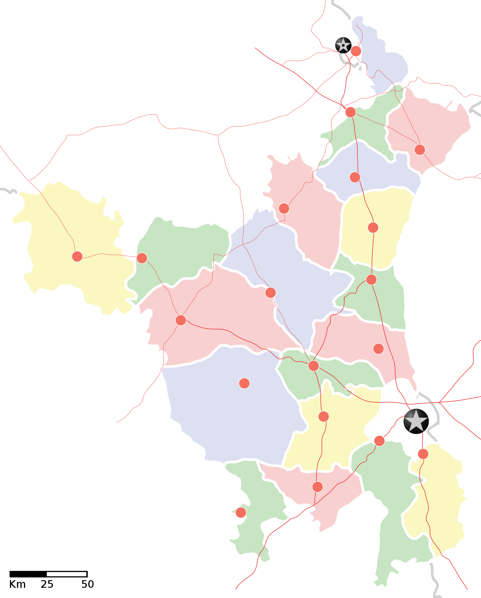
Haryana locator map |
||
| Lời miêu tả |
Locator map of the state of en:Haryana, India with district boundaries. Equirectangular projection. Geographic limits of the map: top=30.975 |
||
| Ngày | |||
| Nguồn gốc |
Tác phẩm được tạo bởi người tải lên |
||
| Sáng tác |
|
||
| Giấy phép (Dùng lại tập tin) |
Tôi, người giữ bản quyền tác phẩm này, từ đây phát hành nó theo giấy phép sau: Tập tin này được phát hành theo Giấy phép Creative Commons Ghi công - Chia sẻ tương tự 3.0 Chưa chuyển đồi
|
||
| Geotemporal data | |||
| Ngày mô tả | nửa cuối năm thế kỷ 20 và thế kỷ 21 | ||
| Georeferencing | If inappropriate please set warp_status = skip to hide. | ||
| Archival data | |||
| Ghi chú | Part of WikiProject India Maps | ||
![[1]](http://maps.newkerala.com/Haryana-Travel-Map.jpg)
Lịch sử tập tin
Nhấn vào ngày/giờ để xem nội dung tập tin tại thời điểm đó.
| Ngày/giờ | Hình xem trước | Kích cỡ | Thành viên | Miêu tả | |
|---|---|---|---|---|---|
| hiện tại | 17:35, ngày 9 tháng 9 năm 2008 | | 954×1.188 (83 kB) | Planemad | {{Information |Description= |Source= |Date= |Author= |Permission= |other_versions= }} |
| 17:31, ngày 9 tháng 9 năm 2008 |  | 954×1.188 (83 kB) | Planemad | {{Information |Description={{en|1=a}} |Source=Own work by uploader |Author=PlaneMad |Date= |Permission= |other_versions= }} <!--{{ImageUpload|full}}--> |
Trang sử dụng tập tin
Có 19 trang tại Wikipedia tiếng Việt có liên kết đến tập tin (không hiển thị trang ở các dự án khác):
- Bhiwani (huyện)
- Faridabad (huyện)
- Fatehabad (huyện)
- Gurgaon (huyện)
- Hissar (huyện)
- Jhajjar (huyện)
- Jind (huyện)
- Kaithal (huyện)
- Karnal (huyện)
- Kurukshetra (huyện)
- Mahendragarh (huyện)
- Panchkula (huyện)
- Panipat (huyện)
- Rewari (huyện)
- Rohtak (huyện)
- Sirsa (huyện)
- Sonepat (huyện)
- Yamuna Nagar (huyện)
- Bản mẫu:Location map India Haryana
Sử dụng tập tin toàn cục
Những wiki sau đang sử dụng tập tin này:
- Trang sử dụng tại ar.wikipedia.org
- Trang sử dụng tại as.wikipedia.org
- Trang sử dụng tại awa.wikipedia.org
- खाँचा:हरियाणा
- अम्बाला जिला
- करनाल जिला
- कर्ण झील
- कालका
- कुरुक्षेत्र जिला
- कैथल जिला
- गुड़गांव जिला
- गुरुग्राम
- चरखी दादरी
- तेलंगाना कय जिला
- पंचकुला
- पंचकूला
- पानीपत ज़िला
- पानीपत जिला
- पेहवा
- फरीदाबाद
- बड़खल झील
- मोरनी हिल्स
- रोहतक
- लोकसभा चुनाव क्षेत्रन कय सूची
- सोनीपत जिला
- हरियाणा विधानसभा
- हिसार
- खाँचा:तेलंगाना कय जिला
- खाँचा:हरियाणा कय लोकसभा चुनाव क्षेत्र
- खाँचा:हरियाणा कय विधानसभा चुनाव क्षेत्र
- Trang sử dụng tại ba.wikipedia.org
- Trang sử dụng tại bo.wikipedia.org
- Trang sử dụng tại ceb.wikipedia.org
- Trang sử dụng tại ckb.wikipedia.org
- Trang sử dụng tại de.wikipedia.org
- Trang sử dụng tại en.wikipedia.org
- Trang sử dụng tại es.wikipedia.org
- Trang sử dụng tại fa.wikipedia.org
- Trang sử dụng tại fi.wikipedia.org
- Trang sử dụng tại gu.wikipedia.org
Xem thêm các trang toàn cục sử dụng tập tin này.