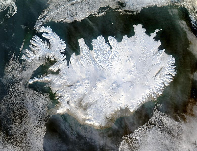
Tập tin:Iceland satellite.jpg

Kích thước hình xem trước: 780×600 điểm ảnh. Độ phân giải khác: 312×240 điểm ảnh | 624×480 điểm ảnh | 999×768 điểm ảnh | 1.280×985 điểm ảnh | 2.600×2.000 điểm ảnh.
Tập tin gốc (2.600×2.000 điểm ảnh, kích thước tập tin: 869 kB, kiểu MIME: image/jpeg)
Lịch sử tập tin
Nhấn vào ngày/giờ để xem nội dung tập tin tại thời điểm đó.
| Ngày/giờ | Hình xem trước | Kích cỡ | Thành viên | Miêu tả | |
|---|---|---|---|---|---|
| hiện tại | 05:49, ngày 5 tháng 12 năm 2004 |  | 2.600×2.000 (869 kB) | Ævar Arnfjörð Bjarmason | bigger version |
| 12:06, ngày 6 tháng 11 năm 2004 |  | 540×405 (68 kB) | Ranveig | NASA satelite image of Iceland |
Trang sử dụng tập tin
Có 1 trang tại Wikipedia tiếng Việt có liên kết đến tập tin (không hiển thị trang ở các dự án khác):
Sử dụng tập tin toàn cục
Những wiki sau đang sử dụng tập tin này:
- Trang sử dụng tại af.wikipedia.org
- Trang sử dụng tại ar.wikipedia.org
- Trang sử dụng tại arz.wikipedia.org
- Trang sử dụng tại ast.wikipedia.org
- Trang sử dụng tại azb.wikipedia.org
- Trang sử dụng tại be.wikipedia.org
- Trang sử dụng tại bg.wikipedia.org
- Trang sử dụng tại bn.wikipedia.org
- Trang sử dụng tại ca.wikipedia.org
- Trang sử dụng tại ca.wikiquote.org
- Trang sử dụng tại ceb.wikipedia.org
- Trang sử dụng tại cs.wikipedia.org
- Trang sử dụng tại dag.wikipedia.org
- Trang sử dụng tại da.wikipedia.org
- Trang sử dụng tại de.wikipedia.org
- Trang sử dụng tại diq.wikipedia.org
- Trang sử dụng tại dz.wikipedia.org
- Trang sử dụng tại el.wikipedia.org
- Trang sử dụng tại en.wikipedia.org
- Trang sử dụng tại en.wikiversity.org
- Trang sử dụng tại es.wikipedia.org
- Trang sử dụng tại es.wiktionary.org
- Trang sử dụng tại fa.wikipedia.org
- Trang sử dụng tại fi.wikipedia.org
- Trang sử dụng tại fr.wikipedia.org
Xem thêm các trang toàn cục sử dụng tập tin này.

